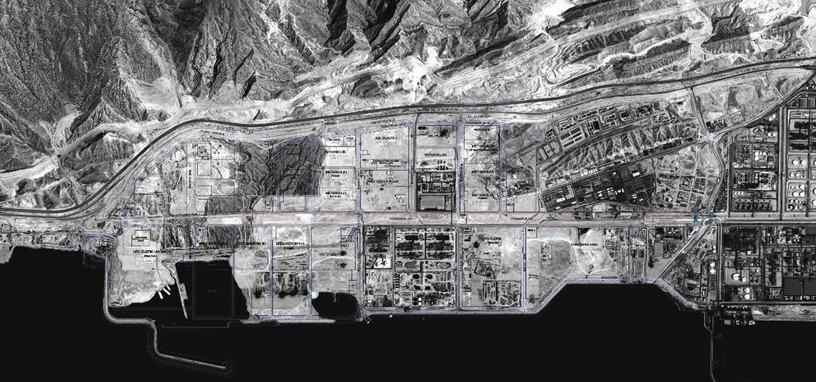

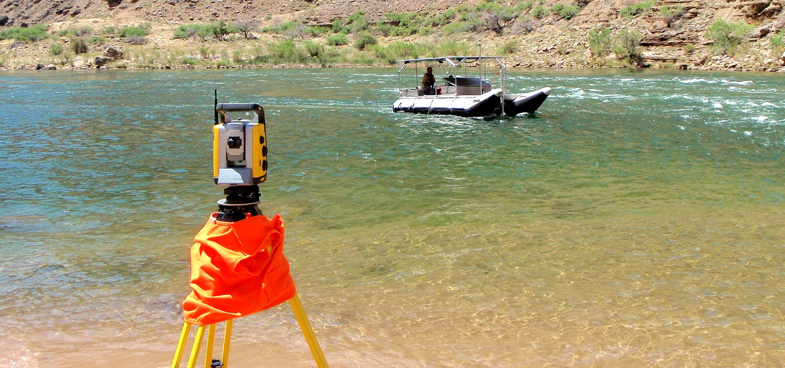
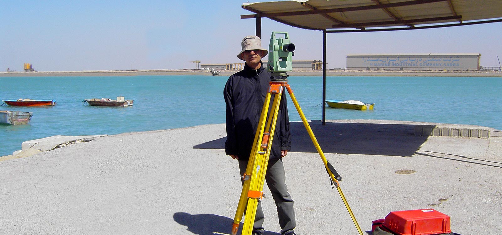
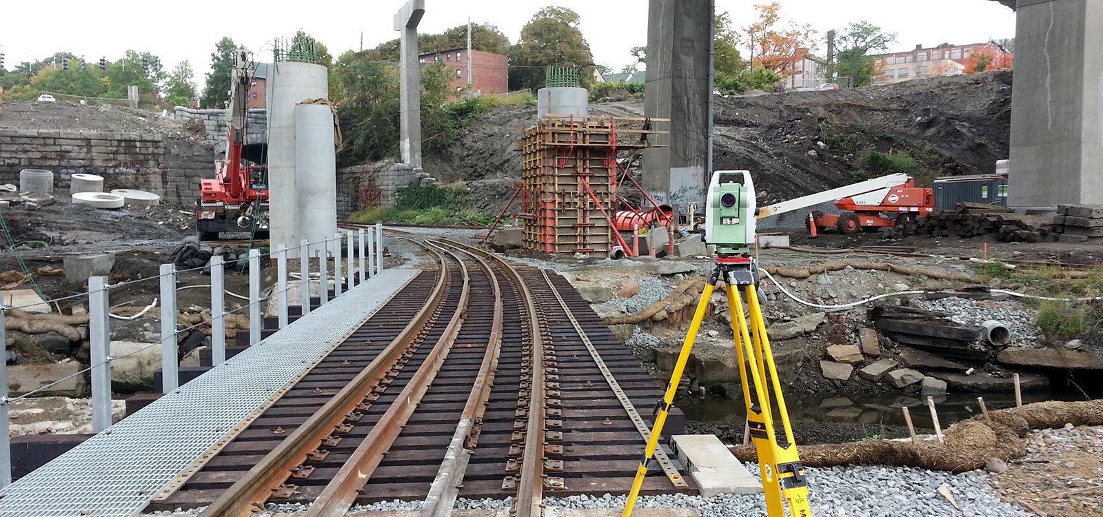
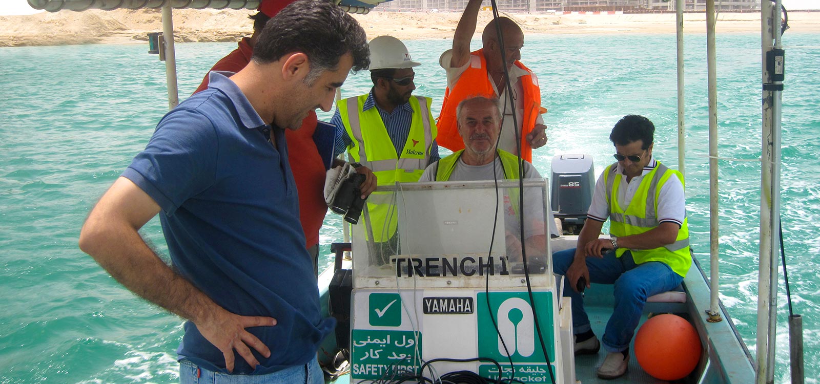
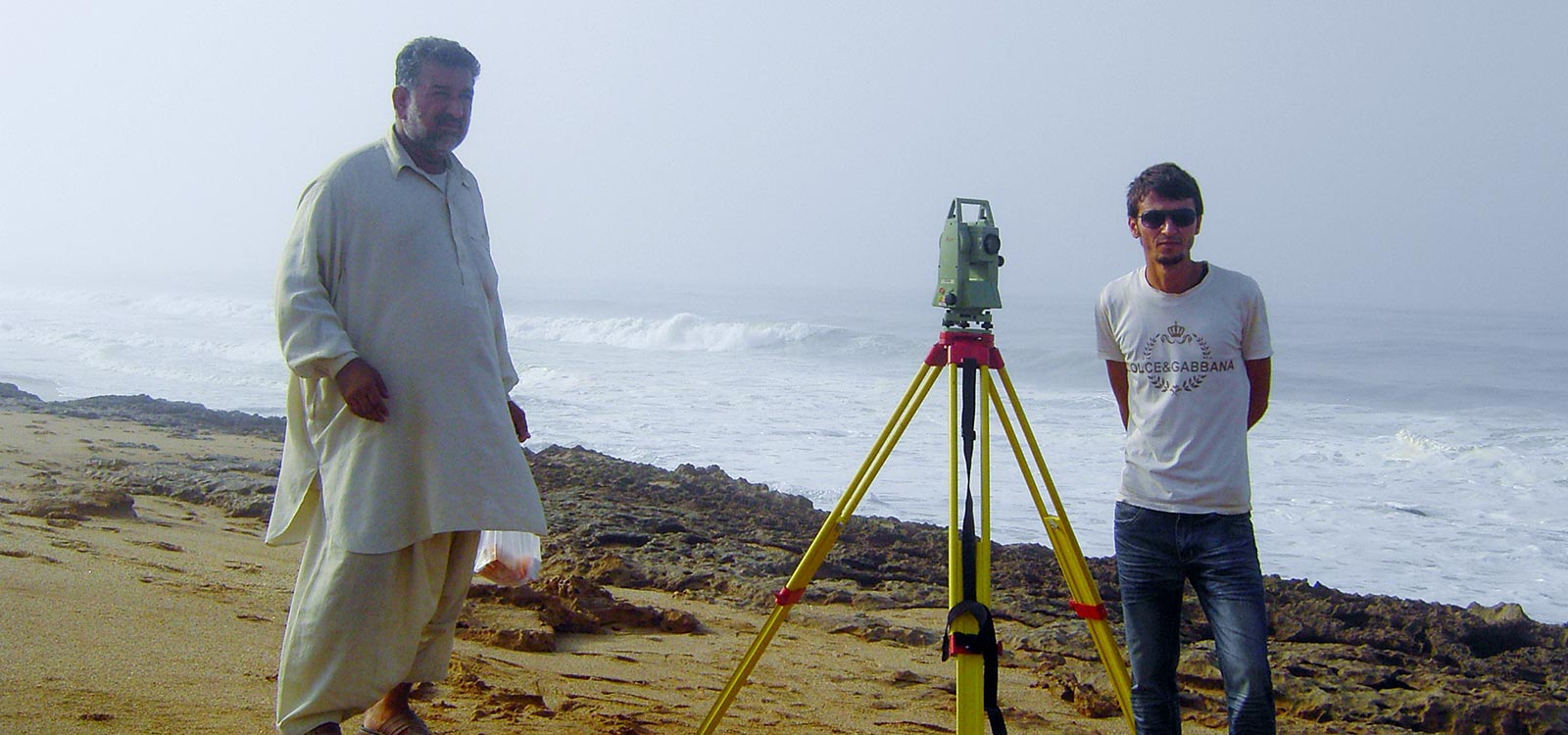
Any design starts with land data and for marine projects with seabed data. Close relation between design team and surveying team, is a necessity. SPI organized well-experienced team equipped by up to dated instruments and facilities to feed design team by any site data needed.
- Ground surveying, topographical map
- Hydrography of seabed, shoreline, rivers and dam lakes
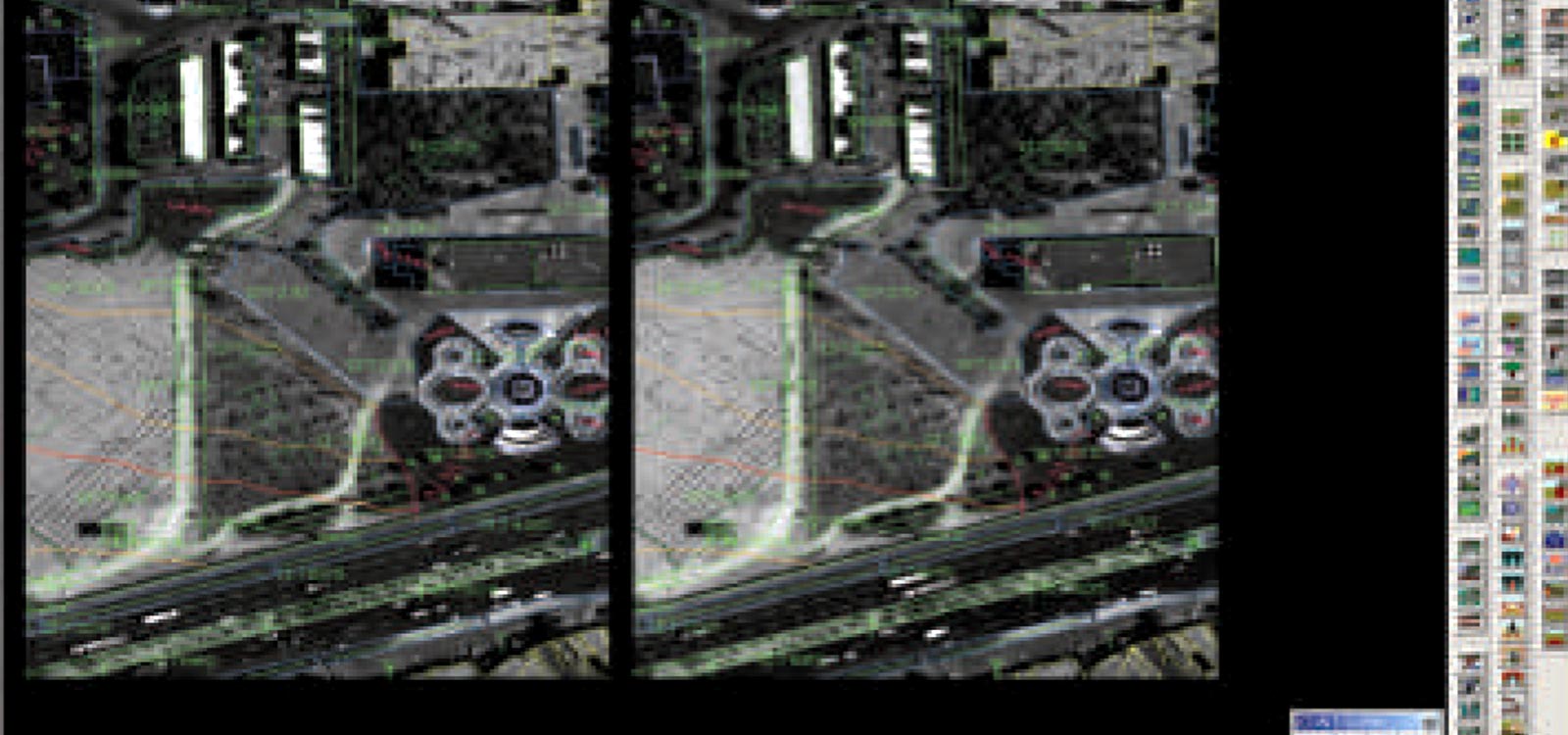
- Map production from satellite images and aerial photos
- Geographical Information Systems (GIS) data base
- Mathematical modeling of ground surface
Featured Projects
 View List of Projects
 Copyrights © 2017 Sazeh Pardazi Iran Consulting Engineering Corporation. All rights reserved.