Surveying Services and Bed and Boundary Delimitation Studies of Jokandan Wetland – Talesh
Introduction
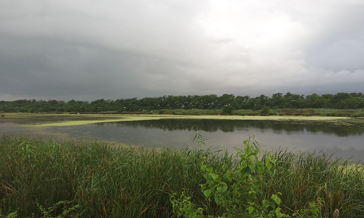
Jokandan Wetland, located 7 km north of Talesh in Gilan Province, lies within the Lisar and Jokandan Protected Area, adjacent to the Caspian Sea. This rare coastal wetland, formed by the sea’s advance in the 1990s, stretches approximately 7 kilometers in length and 300 meters in average width. It is located within the Talesh secondary-level watershed, which is itself part of the primary Caspian Sea basin.
The wetland covers parts of several villages—Ghanbar Mahalleh, Dirakari, Shanderman Mahalleh, Bisim, and Poshteh—and is fed by three rivers: Jokandan, Ghaleh Bin, and Seyedlar Lisar. During storms, Caspian seawater can also enter the wetland. Its average depth is around 0.4 meters, ranging from 0.3 meters in shallow areas to a maximum of 0.8 meters.
Alder trees (Toska), once dominant in the area, were widely cut down about three decades ago, with only scattered remains visible today.
In accordance with national regulations, the Ministry of Energy is responsible for the management and regulation of wetlands. Its regional representatives, the Regional Water Companies, carry out boundary and bed delimitation studies to help protect these national resources and minimize the risks posed by encroachment.
In this context, the Water and Environmental Engineering Department of Sazeh Pardazi Iran Consulting Engineers, drawing on its extensive experience in the field of water engineering, has been entrusted with conducting the surveying and boundary determination studies of the Jokandan Wetland.

 CLIENT
Gilan Regional Water Company
LOCATIONGilan
DATE OF COMPLETION2022-2023